Skyline Trail in Palm Springs is one of the hardest one day hiking trails in the USA, starting from Palm Springs Art Museum and going 10 miles on the mountain station of Palm Springs Aerial Tramway. Total length is about 10 miles (16 kilometers) one way and altitude gain is about 8.000 feet. Skyline trail goes through three vegetation levels from desert cactii to bushes and finally pine trees. The rewards from this trail for hikers as the varying landscapes and views across Coachella Valley. If you take another 5 miles from Tram you reach the top of San Jacinto and gain about 2.000 feet more altitude and the name for this trail will then be Cactus to Clouds Trail, which you can not do in one day even if you start in the early hours of day around 2 to 3 AM.
Temperature difference between the Skyline Trail start and finish is big at around 20 to 40 Farenheits (10 to 20 Celcius) depending on time of year. In summertime the temperature at start is too high for such a long trail and in the winter it is usually too low at the top with possible snow to really hike the whole trail. So the suggestion from experts is to avoid those times of year and hiking it through in the Fall or Spring. Basically there is no water available along this trail so you must carry your own drinks and snacks with you. For the full Skyline Trail one way the suggestion is to carry three gallons of water per person. For shorter and easier hikes like our taste of Skyline, wintertime if fine and you also need much less water.
I had long thought about having a taste of this strenuous trail with my wife, starting from the valley and returning back the same route at an appropriate altitude. Finally on 26th January 2018 the weather was warm at around 70 Farenheit – not too warm or cold for any length – and we decided to walk on it. We do not like the Museum Trail that starts Skyline, but started from North Lykken Trail at the end of Ramon Road.
Already at the crossing of North Lykken and Skyline the views to Palm Springs are great, so we did not have any specific target altitude or return point in mind. The first stretch of Skyline Trail raises to hills whose tops are around 3.000 to 4.000 feet (1.000 to 1.200 meters). Instead of the altitude we aimed at hiking about a mile from Lykken crossing along Skyline and see what we will see and how the trail conditions change. To track our hike we both had our smartphone app Sports Tracker on as it shows our route on map and also altitude and some performance metrics.
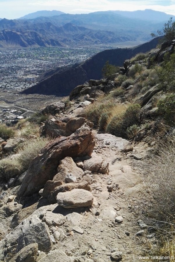
Eventually we turned back around 1.850 feet altitude which we reached after with a miles walk from North Lykken. This is about the same altitude as the top of Murray Peak, but Skyline even there is a bit harder than a rise to Murray Peak. After this point the trail ahead looked even harder with almost all the time along basically a boulder covered landscape. We estimated it would take almost an additional mile to reach the first hilltops with a lower speed. Someone had told us that we should see the first rescue station about where we already were, but we could not see how far it was. So we decided to turn around and maybe try to go higher next winter.
The views along the trail changed continuously and were all to time broader when we got higher. At our return point the whole area of Palm Springs with even most of the new downtown building visible – and far beyond. If there would not have been some moisture in the air at the south end of the valley, Salton Sea would have been easily visible. We thought the views from that point were better to Palm Springs were better than from the Tram mountain station. From the ridges that the trail follows you can see both north and south part of the city just turning your head.
So for anyone who wants to see the beauty of Palm Spring and Coachella Valley at an optimum viewing distance: Skyline Trail is probably the best choice. The photos below with their texts give only a vague snapshot of what you may experience and see.
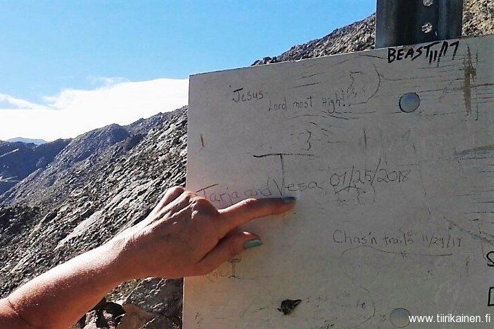
Just a short rise along Skyline after Museum Trail top is a board Tarja and Vesa were recorded for anyone interested.
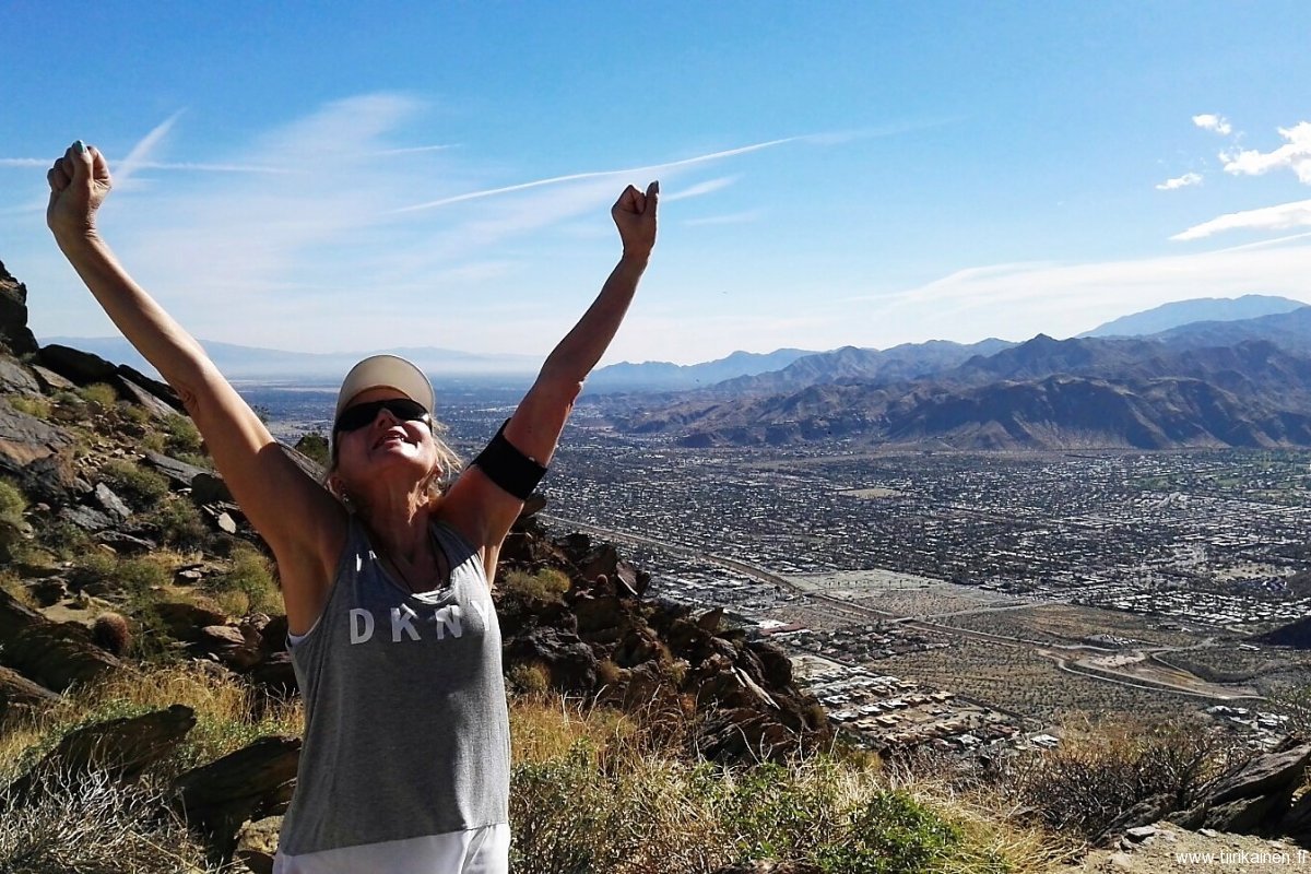
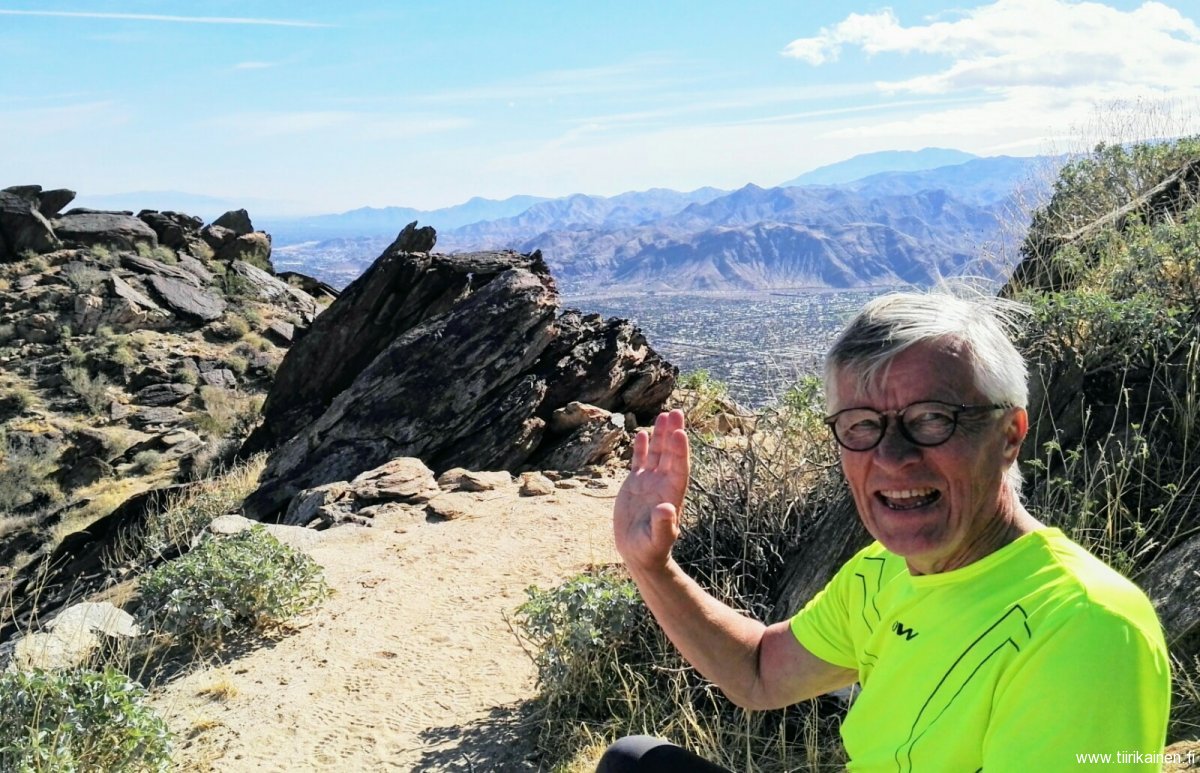
We really enjoyed the great views on a beautiful day from Skyline Trail. This shot is about a half mile hike up from Museum Trail.
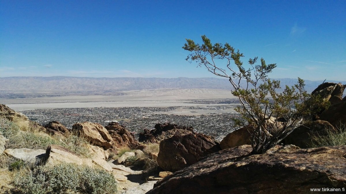
This view from Skyline Trail at about 1 500 feet altitude highlights the beauty of Coachella Valley.
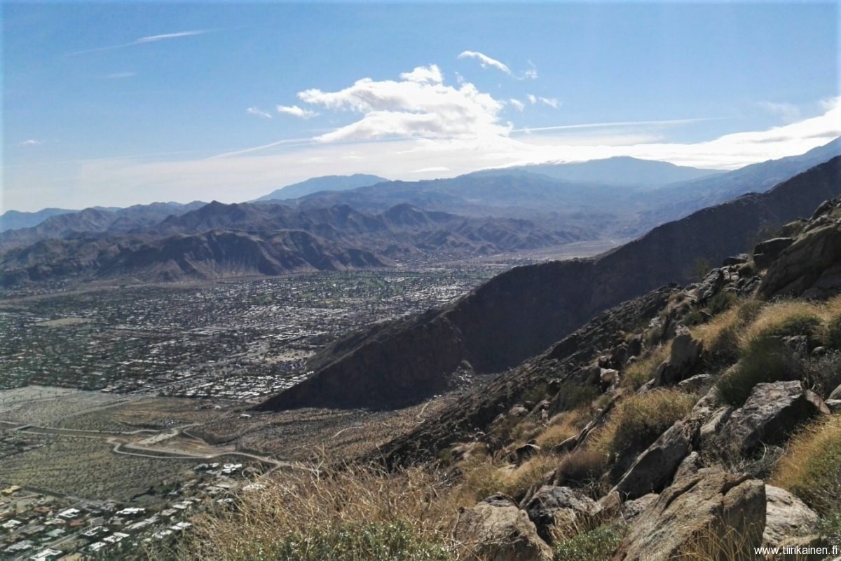
Skyline Trail is ideal to have a look around Palm Springs. You may see Lykken North Trail as small line below, Indian Canyons area. We are still a bit below top of Murray Peak at this point.
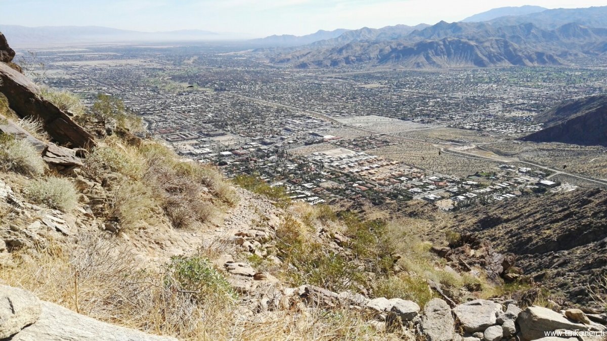
The trail intertwines along the ridges towards the first real hilltops, at this point still a nice, easy-to-walk path.
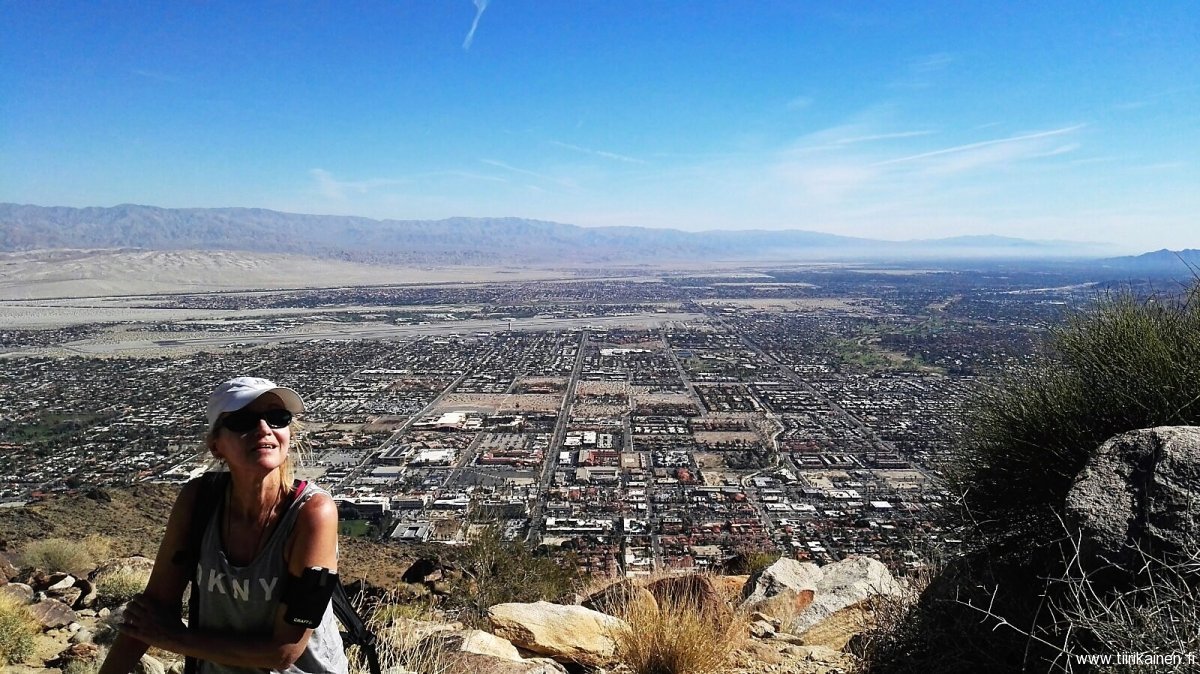
You can see central Palm Springs from Skyline Trail better than any other location on the mountains - including the Tram.
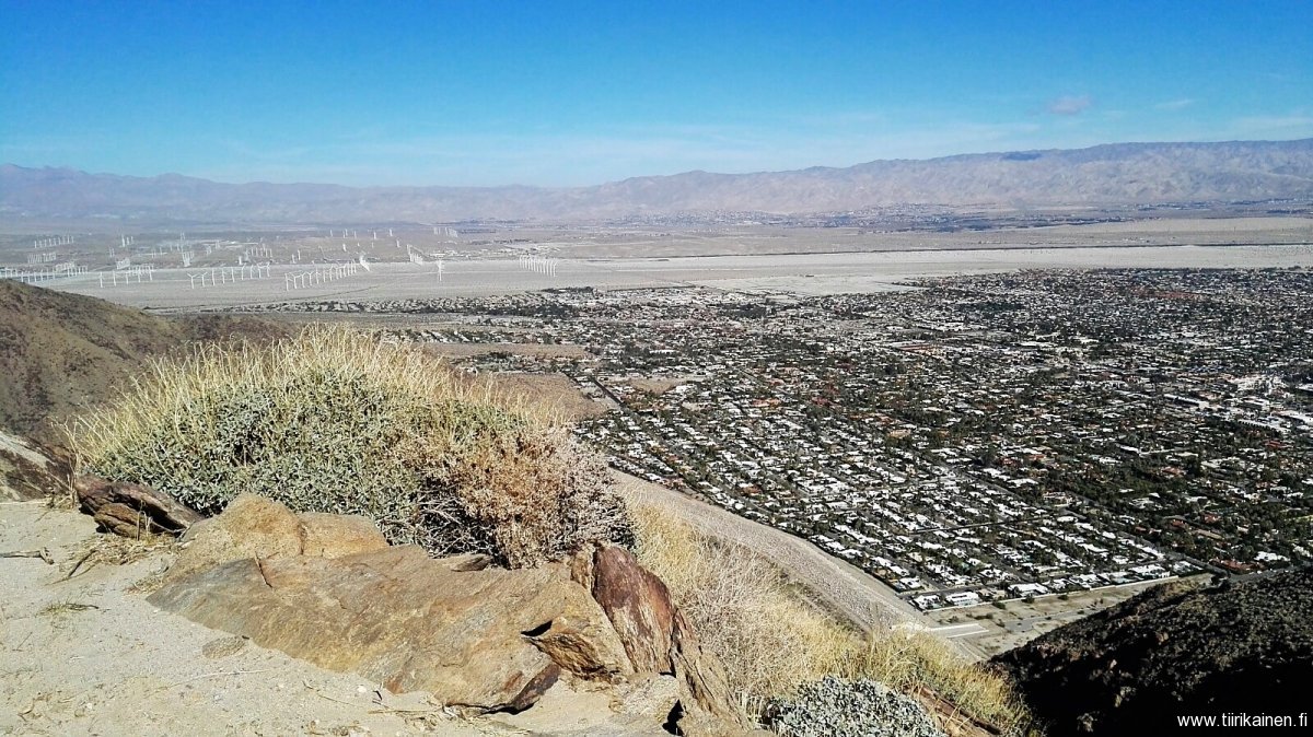
The whole North Palm Springs, windmill park and on the other side of valley Desert Hot Springs can easily be located from Skyline Trail within a single shot.
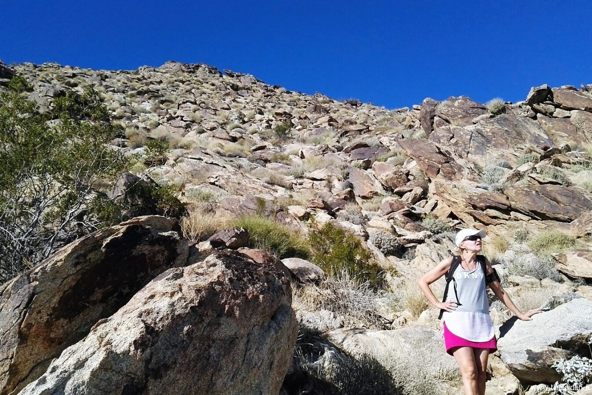
This is the point where will still had not reached the first real hilltops around 3 500 feet altitude, and decided to return because the trail seemed much rockier than anywhere below.

