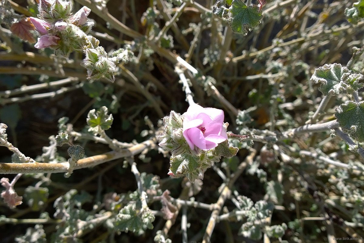
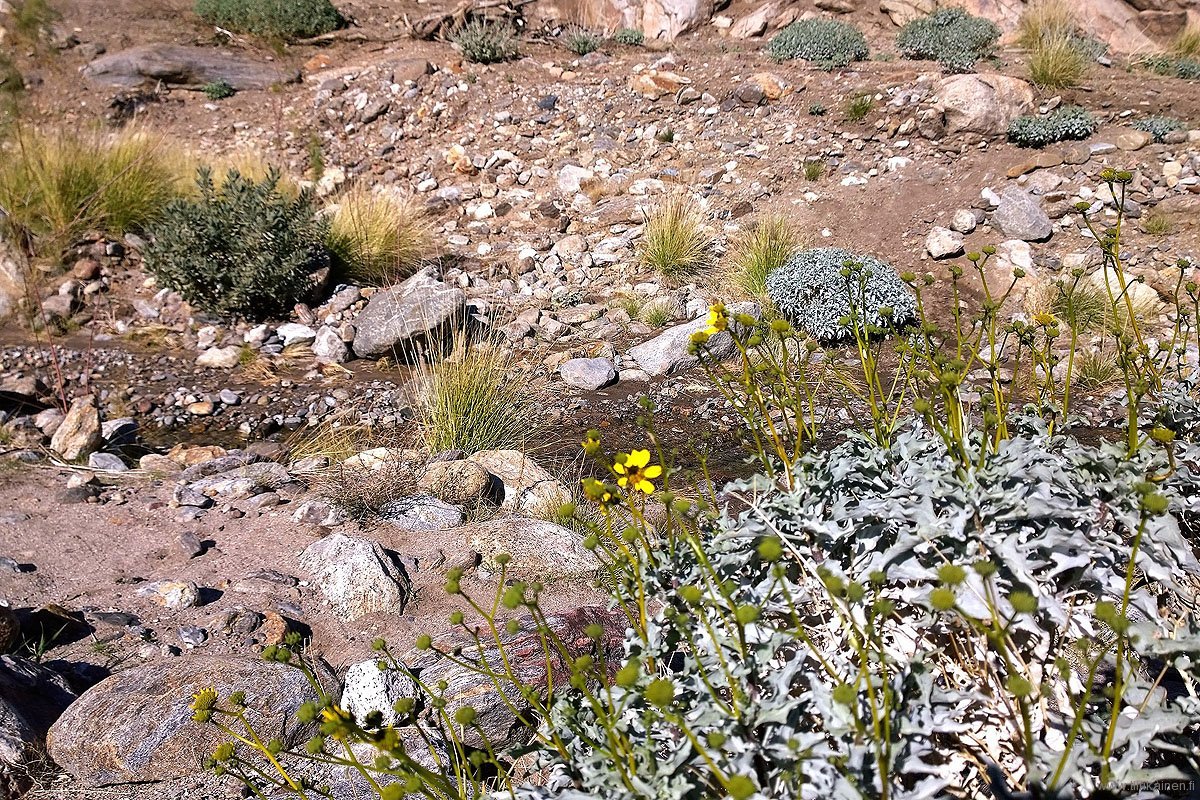
A few days ago I decided to have a look at the about six mile long Palm Canyon West Fork Trail. This was a very good decision as the trail turned out to be one of the greatest few hour trails around Palm Springs area.
West Fork Trail deviates the main Palm Canyon soon after you have entered the canyon bottom from Indian Canyons Trading Post. After about two and a half miles the trail has gone up from the main canyon bottom some 1500 feet and you are the height of 2100 feet from sea level. The first rise from main canyon is a bit steep but after that the trail rises steadily along the southern side of West Fork. Vegetation, mountain shapes and views change constantly. Close to the end of this trail you have great views towards the densely forested San Jacinto mountain tops. Looking the other way you see almost the whole Coachella Valley and Little San Bernardino Mountains at the other side. The north facing hillsides are covered in a large area with brittlebush fields and the south facing hillsides with barrel and cholla cacti. I presume this area must have been great especially in 2017 super bloom time.
Palm Canyon West Fork has a small river or at least some water even at dry times but after heavier rains the river can be more than 30 feet wide. The water comes from highest San Jacinto northern slopes and even at the time we were there in January 2016 there was some snow. This winter and spring the rapids and waterfalls must have been great in 2017.
The last trail sign is at a ridge where the hike can continue to several directions. If you go forward abot 7.5 miles along Jo Pond Trail you end up at Pacific Crest Trail in the highest ridges and forest – must be one of the fastest routes to those sections of PCT. Before entering PCT you should however find out how the get down or continue along PCT. This intersection also leads down to West Fork Canyon where the West Fork Trail ends into the river and continues at the other side as Palm Canyon West Fork North Trail ending at Murray Canyon. It is obvious that if you don’t turn back the same way you entered you must have some means of transportation arranged at the other ending points. The other option is to walk several miles to along Indian Canyon roads to the starting point of this trail. We chose to return the same route we came.
Overall this was a great hike where you actually go higher than Murray Peak and have a really varied trail and nature to admire. Greatly suggested!
The photos below gives a vague sight into what we saw during our hike.
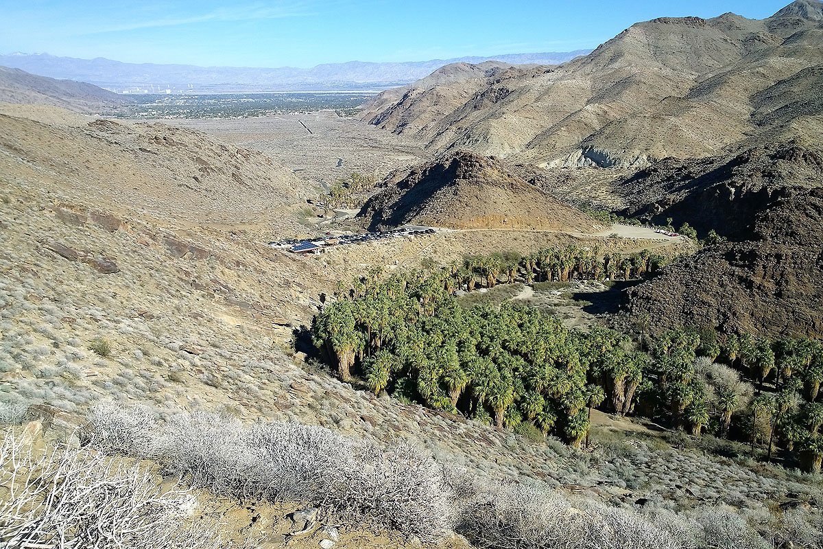
Eteläinen West Fork Trail alkaa kuvan mukaisesta Palm Canyonista ihan läheltä parkkipaikkaa ja intiaanien pitämää Trading Postia.
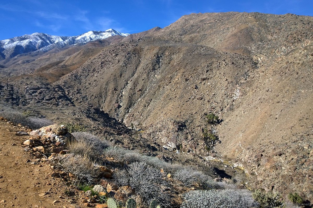
Kuivinakin aikoina Palm Canyon West Forkissa virtaa edes pieni puro, jonka vesi saa alkunsa kanjonin pohjalta nousevilta ja usein lumihuippuisilta yli kaksikilometrisiltä vuorilta. Puron rannoilla kasvaa monin paikoin Kalifornian viuhkapalmuja.
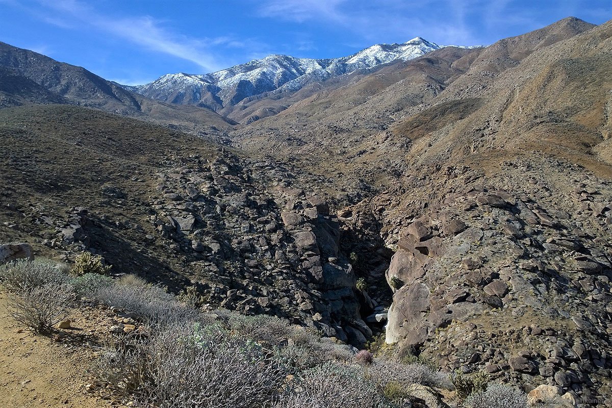
West Forkin eteläiseltä vaellusreitiltä näkee useita vesiputouksia kanjonin pohjalla, mutta useimpiin niistä ei ole mitään helppoa pääsyreittiä.
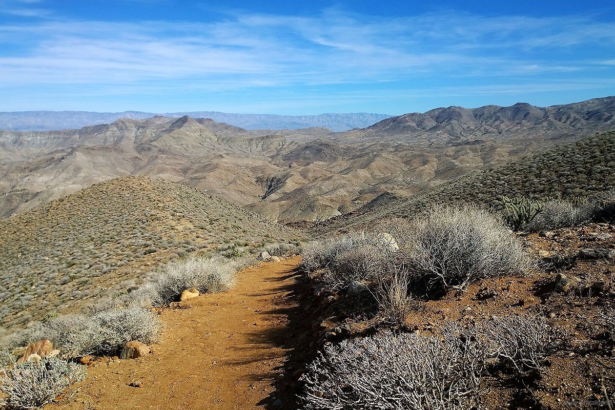
West Fork Trail tarjoaa korkeintaan 700 metriin nousevista Palm Springs alueen reitistä ehkä monipuolisimmat ja upeat vuoristonäkymät.
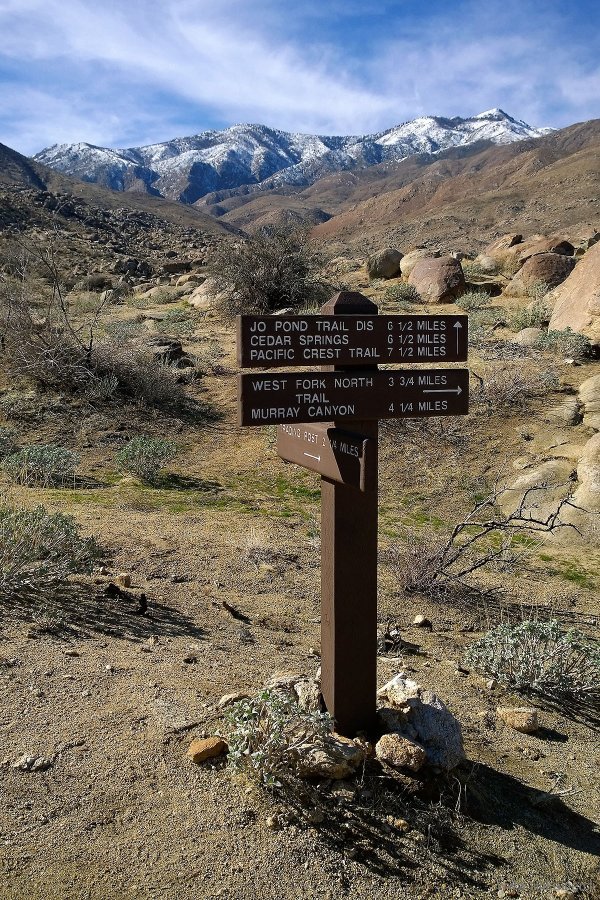
Tähän reittien viittapylvääseen päättyy Palm Canyon West Fork Trail. Siitä jatkuu suoraan reitti Pacific Crest Trailille.
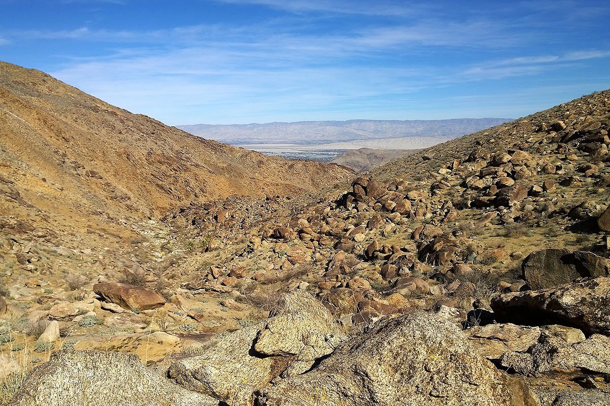
Liki 700 metriin korkeudelta West Fork Trailin lopusta näkee kauas, myös Coachella-laaksoon, jossa on näillä kohdin mm. Palm Springs. Täällä on erinomaiset mahdollisuudet nähdä myös uhanalaisia paksusarvilampaita - mekin kuulimme niiden karitsan määkimistä, mutta emme silti nähneet.
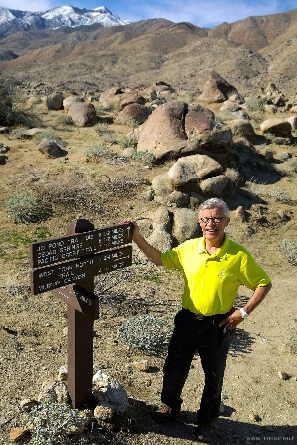
Pääsin minäkin West Fork Trailin viimeiselle reittimerkille, josta tällä kertaa päätin palata samaa reittiä takaisin.
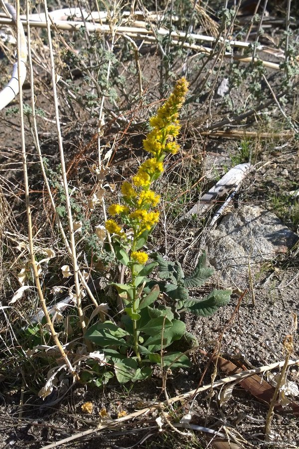
Toisella käynnillä jatkettiin reittimerkiltä kanjoniin, ja vähän ennen sinne saapumista kasvillisuus muuttui voimakkaasti: aikaisemmin näkemättömät kukat kukkivat.
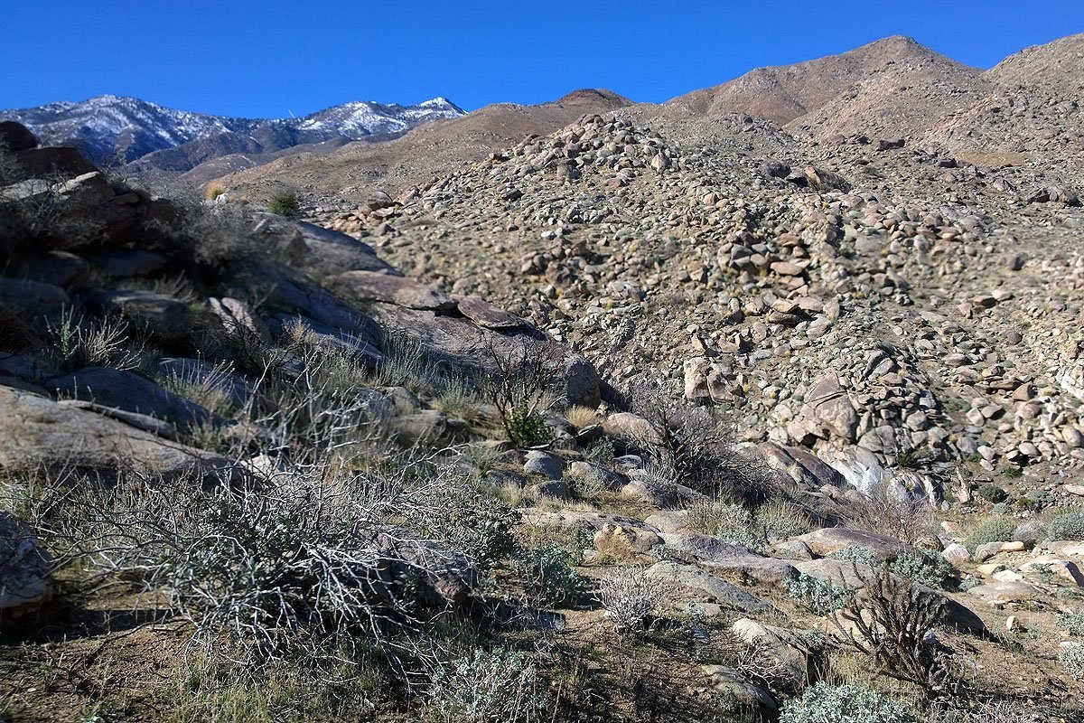
West Fork Canyoniin laskeuduttaessa edessä on useimmiten kuivinakin aikoina puro ja kasvillisuus sen mukaista.

